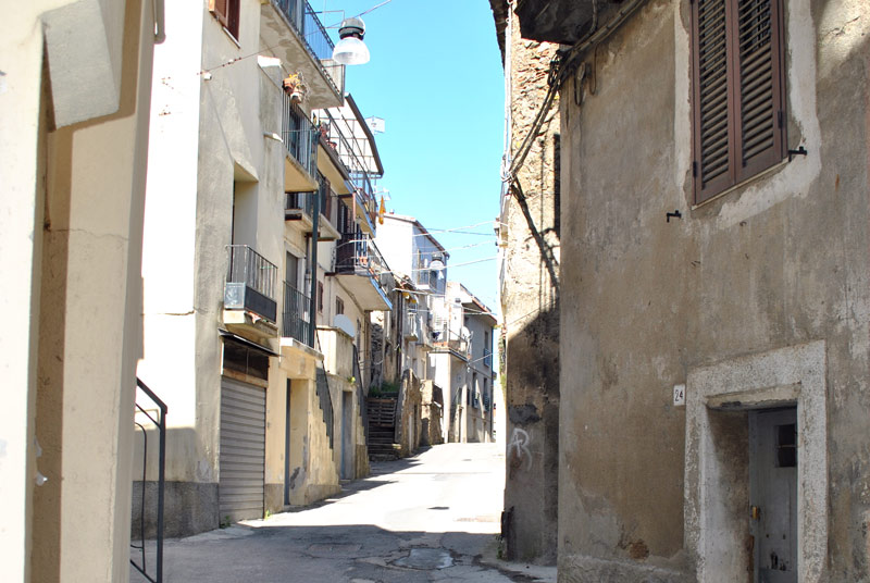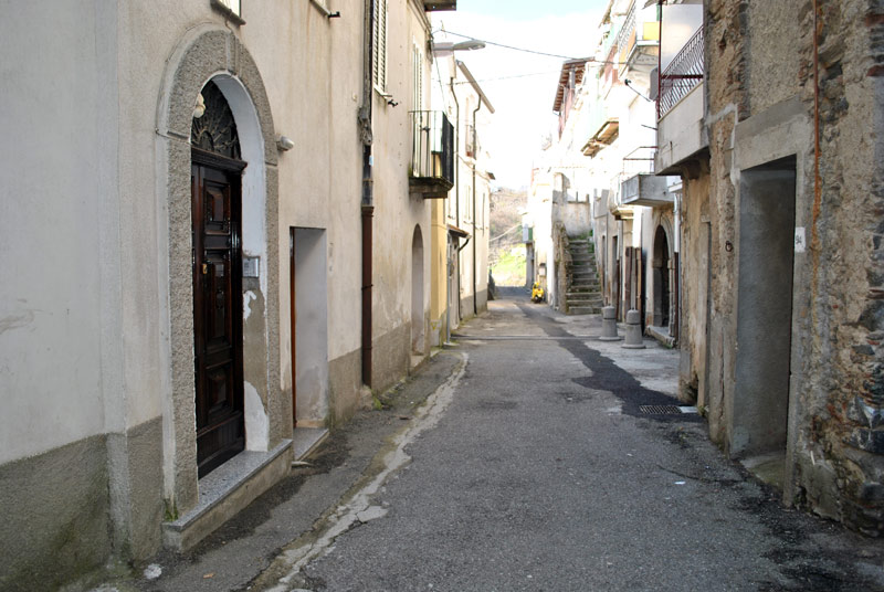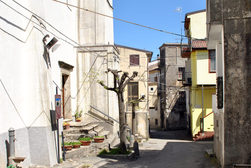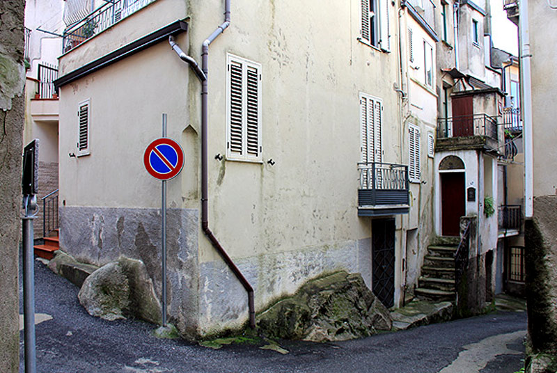
Districts
Pateḍa
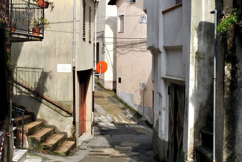
The term derives from the Greek πατέω (patèo) that means “get in, entrance”. It would be, therefore, the ancient entrance of the town. Indeed, the district is situated next to the district called Xχioppu and represents one entrance of the town (cfr. don Innocenzo Lombardo e Mario Voci, “Antichi toponimi di rioni (rughe)”, in L’Araldo di Gasperina, anno VI, n. 15, March 2015)
‘Ssulicchjaloru
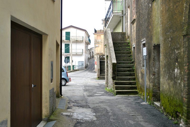
It rises at the end of the district of Cona. It is a place exposed to the sun, where once the cloths were stretched and people sat and socialize; the women spent whole afternoons to spin, to work on sweater. In this place, up to a few decades ago, a wooden cross for the Street Crucis existed
Timberi
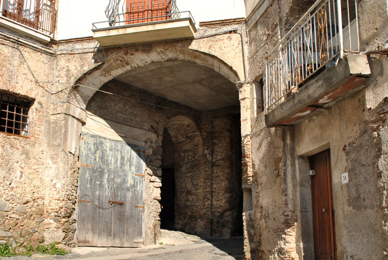
This district is constituted from a street that develops close to the prospectus of east of the Matrix Church. The term is a perfect copy of the Greek adjective τυμβήρες (tiumbéres) coming from the same root of the verb τυμβέυω (tiumbéo) that means: “I give burial to a dead body”. U Timbèri must be considerd as the place where, in far the past, dead bodies were cremated. The cremation was typical of the Greek classical period, while it was forbidden at the Byzantine /Greek time for the people who were Christian. Up to the half of the last century, an arc in masonry and bricks introduced in the district. It has been destroyed because in dangerous conditions. It is easy to think that through the arc, they wanted to delimit with respect the ancient place of cremation of the dead people (cfr. don Innocenzo Lombardo e Mario Voci, “Antichi toponimi di rioni (rughe)”, in L’Araldo di Gasperina, anno VI, n. 16, June 2015)
Via de’ morti
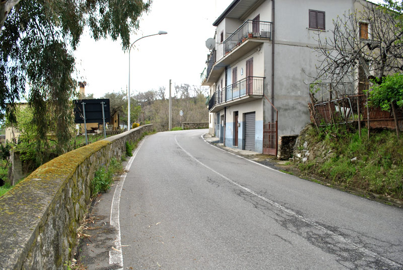
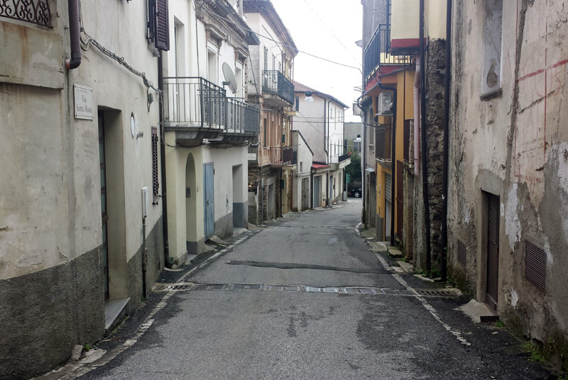
It is the current Via Santa Maria that, starting from the district Cavarcatura, reaches the town cemetery. It is the place where still today, the dead people are accompanied after the funeral rite. Once the accompaniment happened up to the cemetery; today it stops near the Municipality offices of the town
Search on map the points of interest and their position.
Find monuments, the commercial activities and the services to the citizen.
Enter in the directory of the places.

